Mapping the Canopy: The Geopolitical Frontier of Global Forest Intelligence
Strategic Intelligence Desk: Curated and verified by Senior Analyst Amarjeet Singh. Directed toward defense sovereignty, Indo-Pacific deterrence, and critical emerging technologies.
Key Takeaways
- The 10-meter resolution dataset provides tactical-grade visibility into previously obscured global forest canopies.
- Granular forest classification enhances intelligence-gathering capabilities for operations in heavily vegetated environments.
- Supply chain transparency initiatives leverage this mapping architecture to track illegal logging and resource depletion.
- Defense planners must integrate advanced geospatial canopy data into modern tactical terrain analysis frameworks.
The High-Resolution Turn in Geospatial Reconnaissance
For decades, intelligence analysts monitoring heavily forested theaters relied on coarse canopy metrics that offered little more than a green blur on tactical displays. That operational constraint vanished with the deployment of a comprehensive global dataset categorizing every 10-meter patch of Earth into distinct forest types. By moving past rudimentary biomass estimates into hyper-specific ecological taxonomy, this breakthrough capability bridges a critical gap in modern remote sensing. Defense planners and strategic reconnaissance units now possess an unprecedented baseline for understanding the physical composition of contested borderlands and remote operational zones.
The tactical utility of this mapping architecture extends far beyond academic ecology, directly impacting how mechanized forces and irregular units evaluate concealment potential. At a 10-meter resolution, analysts can differentiate between dense coniferous stands, impenetrable tropical rainforests, and fragmented deciduous woodlands with remarkable precision. This granular categorization alters the calculus of troop movement, sensor deployment, and line-of-sight calculations in complex terrain. Where command staffs once guessed at structural density, they now access verifiable data on canopy height, species distribution, and understory impedance.
Decoding Terrain Masking and Electromagnetic Propagation
Modern electronic warfare and tactical communications rely heavily on line-of-sight propagation, a variable severely complicated by diverse forest structures. Dense boreal canopies absorb and scatter high-frequency radio waves differently than broadleaf tropical foliage, creating distinct signature profiles for electronic surveillance. By integrating this 10-meter forest classification data into battlefield management systems, signal intelligence units can more accurately model communications dead zones and radar attenuation. Tactical commanders gain the ability to predict enemy sensor footprints through varying timber stands, optimizing the placement of low-probability-of-intercept transmitters.
"Granular canopy data transforms dense foliage from an unpredictable variable into a quantifiable tactical parameter, fundamentally altering how modern forces map and leverage concealed terrain."
Furthermore, the physical impedance offered by different forest architectures dictates the viability of mechanized versus dismounted maneuvers. Heavy armor moving through muskeg or temperate rainforest faces distinct mobility hurdles that require precise substrate and canopy intelligence to navigate effectively. This mapping initiative supplies the foundational data layer required for automated mobility models, feeding machine-learning algorithms designed to predict vehicle transit times through dense wilderness. The result is a significant reduction in movement friction during exercises or operations conducted in heavily forested northern tiers.
Supply Chain Hegemony and Resource Interdiction
Beyond traditional kinetic applications, high-resolution ecological mapping serves as a vital instrument in the ongoing struggle for critical supply chain security. Industrial timber harvesting, rare earth mineral extraction, and illicit logging operations frequently conceal themselves within vast, unmonitored tracts of global wilderness. Governments and multinational coalitions now leverage this 10-meter resolution baseline to audit supply chain provenance, ensuring that imported raw materials originate from verified, legal sources. This capability effectively closes the intelligence blind spots that bad actors have historically exploited to launder environmentally compromised commodities into Western markets.
The intersection of environmental monitoring and national security underscores the reality that ecological degradation poses direct threats to geopolitical stability. When illicit resource extraction alters the hydrological and structural integrity of critical watersheds, regional conflicts frequently follow. Defense ministries and intelligence agencies are increasingly tasked with monitoring these environmental stress multipliers before they manifest as outright humanitarian or security crises. Deploying standardized, high-frequency forest classifications provides the empirical rigor required to track resource depletion in real-time, shifting policy from reactive crisis management to proactive deterrence.
The Future of Automated Terrain Dominance
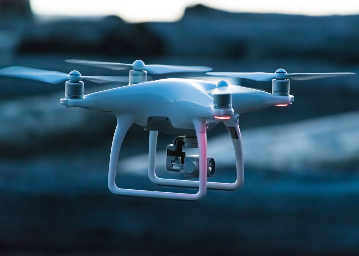
As autonomous systems and unmanned aerial vehicles assume greater roles in reconnaissance and target acquisition, their reliance on accurate terrain databases grows exponentially. Autonomous navigation algorithms cannot afford to treat a forest as a monolithic obstacle; they require precise vectoring data regarding tree spacing, canopy density, and vertical obstruction profiles. Integrating this global 10-meter dataset into autonomous flight control systems enhances the survivability and mission efficiency of deep-penetration assets operating in contested airspace. Machines can now autonomously assess the tactical utility of a forest canopy for concealment or transit in milliseconds.
Ultimately, this mapping milestone signals a broader convergence between environmental science and military intelligence disciplines. As space-based sensor constellations multiply and analytical processing power expands, the granularity of our understanding regarding the Earth's surface will only sharpen. Nations that successfully integrate these advanced geospatial layers into their strategic command architectures will maintain a decisive edge in situational awareness. In an era defined by gray-zone competition and complex terrain, the ability to read the forest down to the ten-meter mark is no longer an academic luxury—it is a core requirement for strategic dominance.
Recommended Strategic Briefs
Finland's ICEYE to Manufacture SAR Satellites in India, Bolstering Strategic Autonomy
Google Earth AI Feature: A Geopolitical Threat Vector
The Anthropic IPO, Grid Bottlenecks, and the AI Spending Wars
Amarjeet Singh
Senior Analyst & Publisher
Amarjeet brings extensive expertise in geopolitical strategy, advanced defense technologies, and predictive OSINT modeling, backed by distinguished credentials from the Ministry of Power and the Ministry of New and Renewable Energy. He directs Neodymium's intelligence operations, ensuring the integrity and strategic depth of all published briefings.